Seismic Refraction
The seismic refraction method of geophysical surveying is one which measures the velocities of shock waves traveling through materials. Shock waves are generated by an energy source such as hammer blows on a steel plate for very shallow depths or explosives for greater depths. Through this method, basically two properties are determined,- (1) the type of material that the velocity represents, and (2) the thickness of that material.
Each material has a typical type of velocity. For example, overburden usually has a much lower velocity than bedrock has, and of the overburdens, a dry gravel has a significantly lower velocity than that of a glacial till. Regarding bedrock, clastic type sedimentary rocks have lower velocities than limestones, or intrusive rocks. Because of each material having a particular velocity, material types can be determined, especially if there is some geology known about the area.
Seismic refraction is used, as mentioned above, in calculating thicknesses of materials. In most cases, this means the thickness of overburden overlying bedrock. This results in many different usages for the seismic refraction method including, but not limited to, dam site investigations, highway location work, determining the amount of gravel within a deposit, environmental work, and placer deposits.
For placer work, this means either measuring the amount of placer material and/or locating buried Tertiary creek or river channels within which is concentrated the material being sought after. This is usually gold but can be other metals or precious stones such as diamonds or sapphires. They concentrate within the channels because of their greater specific gravity. The seismic refraction method has been very successful in placer exploration.
In order for seismic refraction to be effective, the basal layer (usually bedrock) needs to have a higher velocity than that of the overlying layer (usually the overburden). The velocity depends on such physical properties as the density and the water content with the increase in either one resulting in a higher velocity.
The depth of exploration for seismic refraction is limited by the size of spreads one uses, which means that the longer the spread, the deeper the depth penetration. (A spread is a layout of geophones which is usually in a straight line. The length of spread therefore is defined by the distance from the first geophone to the last geophone.) Also the longer the spread, the stronger the energy source needs to be, that is, for longer spreads, more explosives are needed. In practical terms, spread sizes are usually no longer than 1500 meters which give an average depth of exploration of about 375 meters which is about 1200 feet.
However, increasing the depth of exploration results in less resolution. This is caused by increasing the spread length which means the geophones are further apart. As an example, if one is looking for a 20-meter wide placer channel, one would not want the geophone spacing to be greater than 10 meters. Therefore, the depth of exploration needs to be balanced against the required resolution.
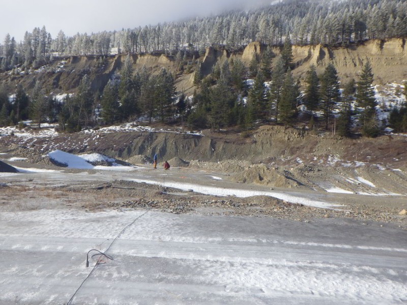
For instrumentation, Geotronics uses two 12-channel seismographs interfaced together to make up a 24-channel system. The blasting is done with one encoder and one decoder interfaced with Motorola portable FM radios negating the need for shot line resulting in greater speed and greater safety.
Geotronics, for the field method, uses the ‘two-way, in-line shot’ seismic method. The technique consists of laying out 24 geophones in a straight line and recording arrival times from shots fired at either end of the spread. Arrival times from three additional shot points each located every 1/4 of the spread length within the middle of the spread are also recorded. This provides the layer depths and velocity variations along the spread, and also gives additional information about the deeper layers. Finally, for each spread, two additional off-end shots are fired, each at a distance of up to one-half the spread length from the nearest geophone so that all first arrivals are from the basement bedrock (or basal layer). This is felt necessary so that the refractions received from the other shot points can be correlated and assigned the correct layer number.
All seismic data is analyzed using an intercept-delay time technique. Implementation of this method requires reverse refraction emanating from a common point for at least two detectors. The off-end shot times are used to extrapolate the rock refractions from either end back to their respective shot locations. With this information and related overburden velocities, it is possible to compute the depth to bedrock below each detector.
The seismic-interpretation is shown as a section showing the topographic profile on top and the bedrock profile below. Intermediate overburden layers, such as the water table, are shown in between these two profiles. If the seismic lines are close enough together, than contour maps can be drawn of the bedrock sub surface, the topographic surface, and the overburden thickness, respectively.