
Ground Penetrating Radar (GPR)
Ground penetrating radar, or GPR, is in principle related to reflection seismic methods. A transmitter (Tx) emits a signal into the surface of investigation. The back-scattered signal is detected and registered by a receiver (Rx). In contrast to seismic methods, GPR uses electromagnetic waves instead of acoustic waves. EM-waves will in general not penetrate as deep as acoustic waves but will result in much higher resolution maps of the subsurface.
Targets with a certain contrast in electrical and/or magnetic properties to the surrounding media will scatter (i.e. reflect, refract or diffract) the transmitted EM-wave. Part of the EM-wave will propagate back to the receiver where it will be registered. GPR instruments are primarily used for detection and localization of metallic and non-metallic targets. The depth of investigation may vary from less than a meter to over several thousands of meters, depending on the material properties. Normal maximum detection depths in soils and rock are approximately 30-40 m.
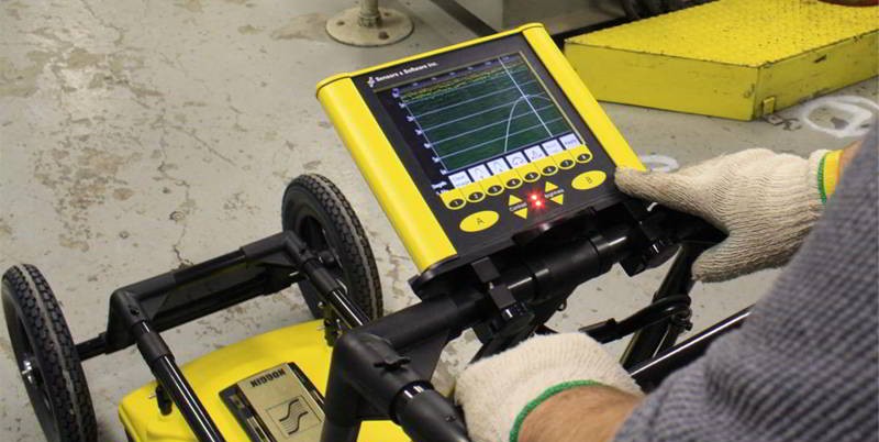
Data acquisition is normally performed by continuously moving the GPR antenna in a straight line (profile). A carefully calibrated distance encoder controls the distance between the sampling points (traces). Traces are instantaneously displayed on the laptop computer controlling the measurement and will create an image of the underlying material of investigation.
Point reflectors will, due to the spherical dispersion, be registered as hyperbolas, whilst plane reflectors will maintain their natural form. The lateral and vertical resolution of the results will vary between 0.01-2.0 meters, depending mainly on the choice of antenna frequency and the depth of the investigation.
Quantitative interpretation of GPR data may give information such as depth, size, shape, orientation of buried objects, water content and density of soils etc.