Drone Imaging & Contouring
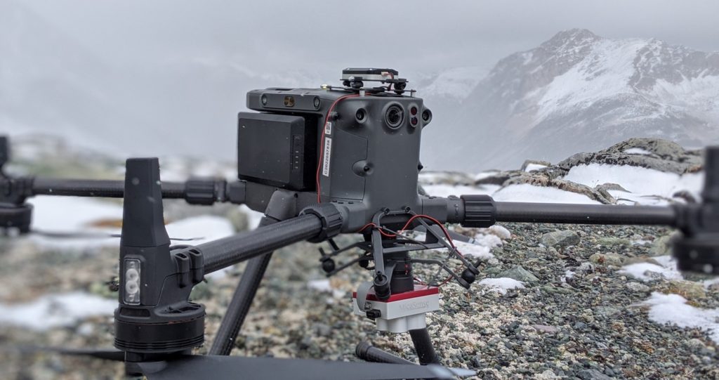
Drone Imaging & Contouring One of the other services Geotronics offers with its Drone Program is: High Resolution Photos Georeferenced Orthomosaics 3D Models High Definition Contouring Multispectral imaging (like the Iron Oxide Index) These services can let you prospect a wide area, generate a high definition map (including for promotional purposes), look at an accurate […]
UAV Magnetic Surveying
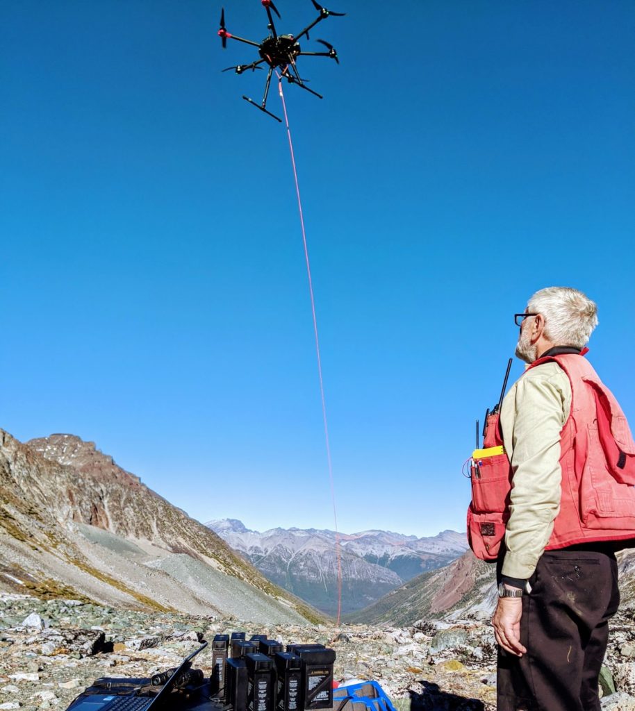
UAV (Drone) Magnetometer Surveying UAV mag surveying hits the sweet spot between ground-based and airborne magnetometer surveying. You are able to get the mag sensor much closer to the ground over traditional airborne mag You can achieve a much line density over airborne mag (as little as 5-10 meter line spacing) You can cover a […]
Horizontal Loop Electromagnetics (EM)
Horizontal Loop Electromagnetics (EM) We’ll have a write up and description of Horizontal Loop EM soon.
Downhole IP
Downhole Induced Polarisation (IP) We’ll have a write up and description of Downhole Induced Polarisation (IP) soon.
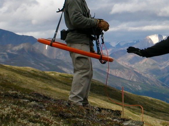
Very Low Frequency Electromagnetic
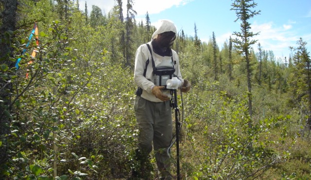
Very Low Frequency Electromagnetic (VLF-EM) VLF-EM surveying is carried out with a combination magnetometer and VLF-EM receiver. This instrument is designed to measure the electromagnetic component of the very low frequency field (VLF-EM) which is transmitted from various stations within North America. In all electromagnetic prospecting, a transmitter induces an alternating magnetic field (called the […]
Self-Potential Surveying
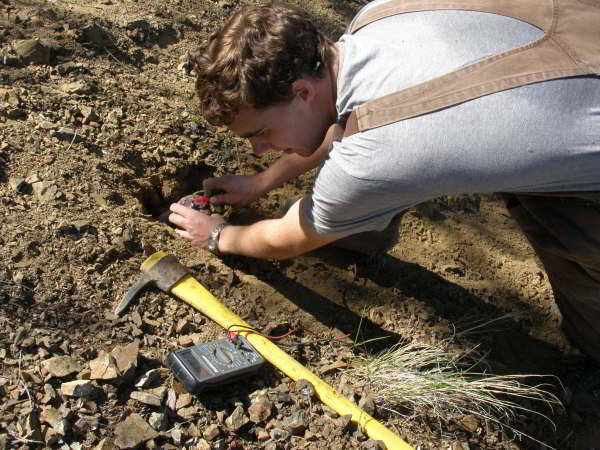
Self-Potential Surveying Self-potential is a very old geophysical technique designed to measure the electrical potential differences between pairs of electrodes that contact the surface of the earth. Anomalous surface potentials, measured in millivolts against a base station, are typically detected near pyrite, chalcopyrite, pyrrhotite, sphalerite, and graphite. In self-potential surveys we conduct the data is […]
Seismic Refraction
Seismic Refraction The seismic refraction method of geophysical surveying is one which measures the velocities of shock waves traveling through materials. Shock waves are generated by an energy source such as hammer blows on a steel plate for very shallow depths or explosives for greater depths. Through this method, basically two properties are determined,- (1) […]
Seismic Reflection
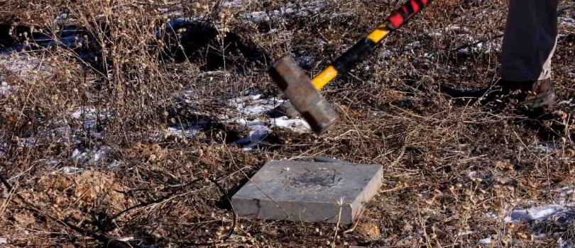
Seismic Reflection There are two types of seismic surveys we have run for decades – refraction and reflection. Both types of seismic surveys work by measuring the travel time of energy from a surficial shot (usually an explosive in the case of refraction, and a hammer hitting a plate in reflection) to an array of […]
Magnetic Surveying
Magnetic Surveying Magnetic surveying works by detecting disturbances in the earth’s magnetic field – in mineral exploration these disturbances are usually caused by magnetite and pyrrhotite, the only two commonly occurring magnetic minerals. It works by detecting the presence of these minerals in varying concentrations, as follows: Magnetite and pyrrhotite may occur with economic […]
Induced Polarization and Resistivity
Induced Polarization (IP) and Resistivity Induced polarization (IP) and resistivity surveying works due to the ground’s ability to transmit electricity even in the absence of metallic-type conductors. Through a transmitter, voltage is applied to the ground and electrical current flows. If certain mineral particles that transport current by electrons (mostly sulphides, some oxides and […]